New exclusive service in Greece - topographic surveys with drone
Lidar Scanning
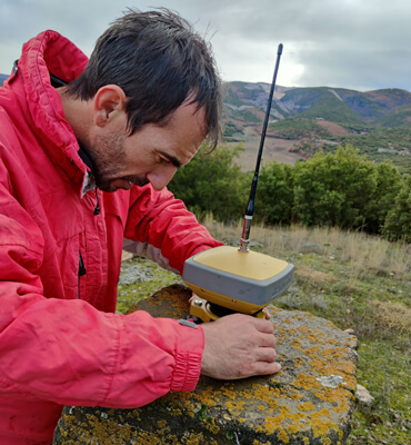
Our company aware of the modern requirements in the field of topographic surveys and data collections and the needs arising from the mountainous morphology of the country, first in Greece innovates investing in the cutting edge technology of LIDAR from the top company RIEGL Laser Measurement Systems.
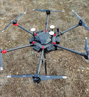
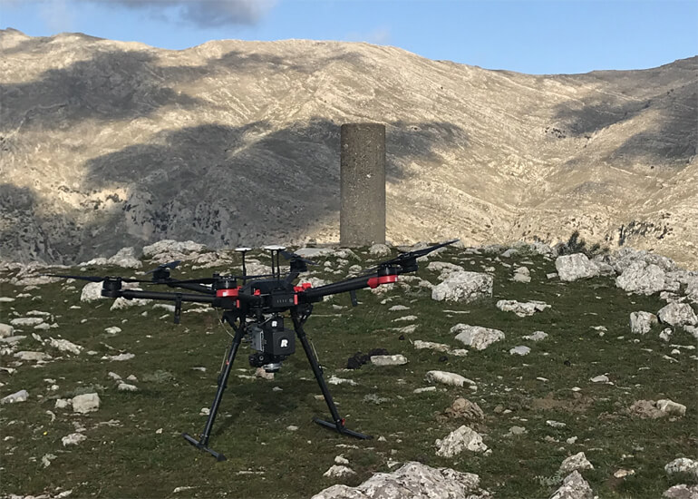
High standards unmanned aerial platform miniVUX-2UAV (air drone survey) literally revolutionizes the survey process of inaccessible areas covered with dense vegetation. It minimizes time, reduces labour costs and in the same time maximizes accuracy, making its selection imperative and an unrivalled equipment in the survey field.
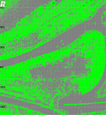
LIDAR technology, Light Detection and Ranging, utilizes light through the transmission of a pulsed laser to measure ranges and generate precise information over an area. By using a gyroscope that operates simultaneously as a transmitter and a receiver, thousands of pulsed laser beams are emitted per second. Each pulse is reflected on an object and returns back to the gyroscope where is registered. By measuring the round trip travel time of every laser pulse the system can precisely determine the distance.
In addition LIDAR data can be combined with color photos (R.G.B.) in Multimodal Data Fusion, the photos are obtained during flight in order to create modern 3D backgrounds with the ability to use them in various applications.