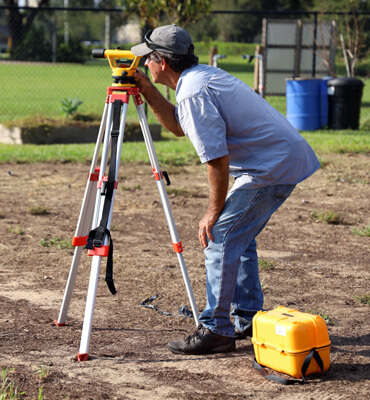
The company operates in the field of topographic survey designs with experience, know - how and appropriate equipment. Our equipment is in constant update with state of the art instruments.
More specifically the company undertakes:
- Aerial, underground and underwater topographic surveys for transmission lines 150 & 400 KV
- Topographic Lidar surveys (RIEGL Laser Measurement System - Lidar Scanning)
- Survey support during the construction phase of transmission lines and forest road opening (LIDAR Scanning - RIEGL Laser Measurement System)
- Topographic area plans and altimeter survey across Greece for high voltage transmission lines design studies, characterization acts, forest road designs and renewable power projects location
- Field measures editing and coordinates depended topographic survey or topographic area plan
- Digital terrain model construction and altitude contour (isometric) lines